Imagine a world where farmers can predict pest outbreaks before they happen, identify plant diseases early, and manage crops with pinpoint accuracy—all while using a simple app. It’s not science fiction. This is the power of Python in agriculture combined with global mapping. In this blog, we’ll explore how python application agriculture with global map with pest and disease control into interactive maps, benefiting both local and global agricultural practices.
If you’re curious about technology’s role in securing our food supply, keep reading!
Agriculture has always been a challenging industry, with pests and diseases causing billions of dollars in losses every year. Traditional methods of pest and disease control often rely on trial and error or delayed responses, leading to inefficiency.
Here’s where Python steps in:
- Data Handling Power: Python excels at processing large datasets from sources like satellite imagery, weather data, and farmer inputs.
- Automation: Python scripts automate repetitive tasks, such as monitoring pest populations or predicting disease spread.
- Integration with Mapping Tools: Using libraries like GeoPandas, Folium, and Mapbox, Python enables real-time visualization of threats on a global scale.
Combining Python with geographic information systems (GIS) empowers farmers to make informed decisions faster than ever before.
Python applications in agriculture leverage data science, machine learning, and GIS technology to address pests and diseases. Here’s how:
- Python scripts analyze real-time data from sensors, weather reports, and crop health images.
- Machine learning models predict pest outbreaks based on historical patterns and environmental factors.
- Results are visualized on global maps, highlighting high-risk zones.
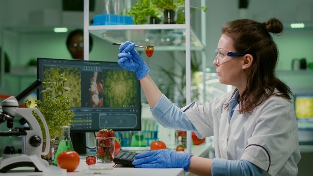
- Python-powered image recognition tools, like TensorFlow, identify diseases in plants using smartphone cameras or drones.
- Algorithms compare the captured images to a database of known diseases and suggest treatment options.
- Disease hotspots are plotted on maps, enabling quick containment.
- Python apps use GPS and IoT sensors to monitor soil conditions, crop health, and pest activity.
- Data is displayed on interactive maps, helping farmers target specific areas for pesticide application, reducing waste.
- Python analyzes climate data to understand how changing weather patterns affect pest and disease behavior.
- Maps illustrate vulnerable regions, allowing policymakers to implement preventive measures.
Global mapping transforms raw data into actionable insights by visualizing pest and disease activity in real-time. Python simplifies this process using powerful mapping libraries:
- Folium: Creates interactive maps showing pest populations, crop health, and weather patterns.
- GeoPandas: Processes geospatial data, enabling detailed analysis of affected areas.
- OpenStreetMap Integration: Displays pest and disease trends alongside geographic features like farms, rivers, and urban areas.
These tools allow governments, researchers, and farmers to collaborate, sharing up-to-date information on a global scale.
A Python-based system combined satellite imagery and weather data to predict locust movements. Maps alerted farmers, helping them protect crops before the swarms arrived.
Farmers used a mobile app powered by Python and machine learning to diagnose diseases in tomato plants. The app mapped affected regions, enabling better resource allocation.
Using Python with global mapping offers several advantages:
- Improved Efficiency: Farmers can act quickly with accurate, real-time data.
- Cost Savings: Targeted interventions reduce the need for excessive pesticides.
- Sustainability: Minimizing pesticide use protects the environment.
- Global Collaboration: Shared maps foster international cooperation in combating pests and diseases.
Despite its potential, adopting Python in agriculture has challenges:
- Data Availability: Many regions lack reliable data collection systems.
- Technical Knowledge: Farmers may require training to use Python-powered tools.
- Cost: Developing advanced applications can be expensive.
Overcoming these hurdles will require partnerships between governments, tech companies, and agricultural organizations.
Python applications combined with global mapping are transforming agriculture into a high-tech industry. By tackling pests and diseases more effectively, these tools ensure higher yields, lower costs, and a more sustainable future. While challenges remain, the potential to revolutionize farming is too great to ignore. Embracing Python-powered solutions is a step toward smarter, healthier agriculture worldwide.
1. What is Python’s role in agriculture?
Python helps process data, predict pest outbreaks, diagnose diseases, and visualize information using maps.
2. How does global mapping improve pest and disease control?
Global mapping provides real-time visuals of affected areas, enabling quicker, targeted responses.
3. What tools are used for mapping in Python?
Popular tools include Folium, GeoPandas, and OpenStreetMap for creating and analyzing maps.
4. Can small farmers use Python applications?
Yes! Many Python-based tools are designed to be user-friendly and accessible via smartphones.
5. Is Python effective against climate-driven pest changes?
Absolutely. Python analyzes climate data to predict pest and disease behavior in changing environments.
6. How can governments support Python adoption in agriculture?
Governments can provide funding for app development, training programs, and infrastructure for data collection.